View our Image Gallery
| Room | Adults | Children |
|---|
GASCOYNE RIVER

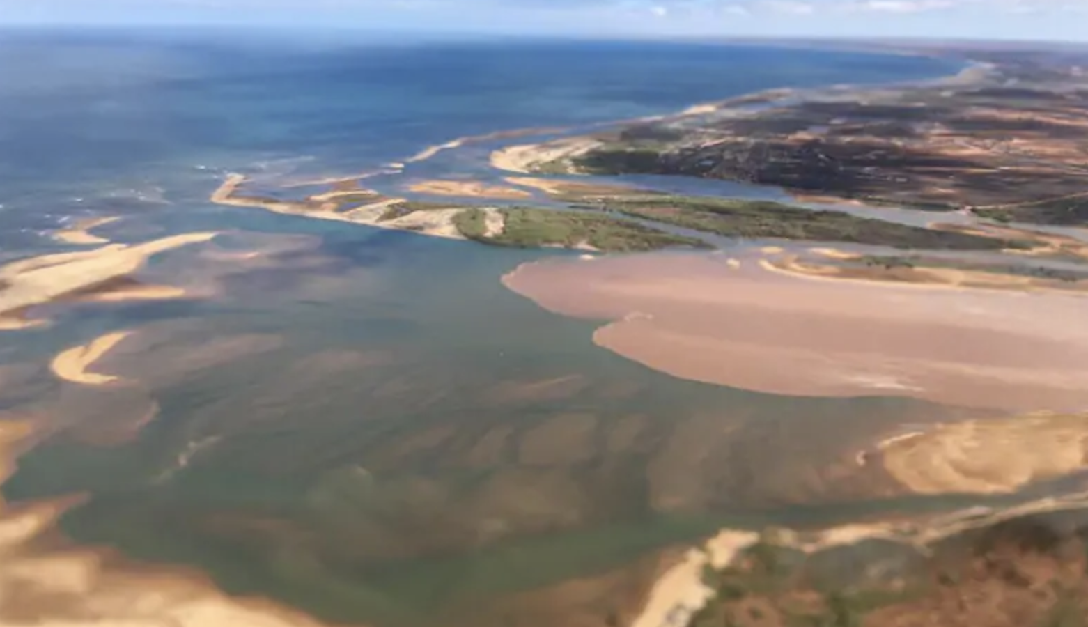
The Gascoyne River is the longest river in Western Australia (760km). The river has its source between Meekatharra and Newman in the Robinson Ranges west of the Gibson Desert and flows into the Indian Ocean at Carnarvon.
At Carnarvon wooden barrages have been built along the mouth of the Gascoyne River to slow the flow of water in the river and to help prevent erosion of the river banks.
Irrigation and drinking water are drawn from acquifers in the river, which is replenished during the wet season when the river flows. Local farmers and plantation owners tap into the aquifers and pump the water to the surface to service their crops. All the plantations and orchards have water rationed and they each receive an annual allocation. Most of the plantations and fruit orchards are situated along the river approximately 5-19km inland from the mouth of the river.
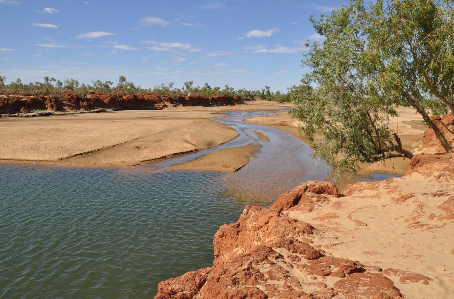
The Gascoyne River flows for about 120 days of the year and for the rest of the year the river flows underneath the dry river bed. Carnarvon is located at the only place in Australia where the desert reaches out into the sea.
The river is a 300km tongue of sand which acts as a water storage system and the water table (river's aquifers) lie below the desert sands. The river was named by the explorer George Grey in 1839 in honour of his friend, Captain Gascoyne.
To have a look at the map, please click here.

